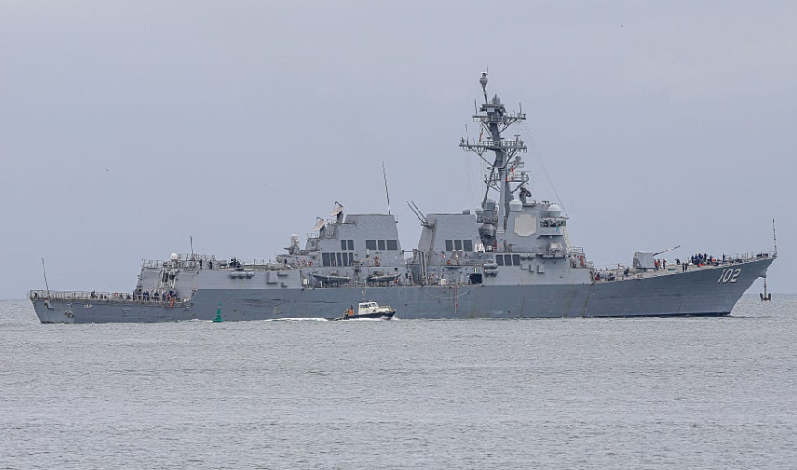
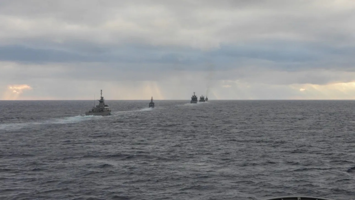
Greece’s recent submission of the supplementary Maritime Spatial Planning map to the European Commission has reignited tensions in the already volatile Eastern Mediterranean. The Turkish government responded immediately and sharply, accusing Athens of attempting to create faits accomplis through EU institutions and to “legitimize,” from Ankara’s perspective, an unproclaimed Exclusive Economic Zone (EEZ).
According to the Turkish Foreign Ministry, the updated map published on the European Commission’s MSP platform depicts maritime zones that allegedly “overlap with the Turkish continental shelf.” With this, Ankara revives the narrative of the “Blue Homeland” and the claims it has long asserted in the Eastern Mediterranean.
Turkey accuses Greece of disregarding fundamental principles of the Law of the Sea and attempting to draw EEZ and continental shelf boundaries without bilateral agreement. In the Turkish argument, any delimitation must be based on consensus with neighboring states, and Athens’ action is presented as unilateral and illegal.

Ankara also recalls its 2020 diplomatic note to the United Nations, reaffirming Turkish claims. Based on that position, large parts of the maritime zones depicted by Greece on the new map are considered by Turkey as belonging to the Turkish continental shelf.
From the Greek perspective, Maritime Spatial Planning is an internal and EU-level policy tool that operates within European regulations and does not constitute a declaration of an EEZ. Nevertheless, Ankara interprets the document as an indirect attempt to consolidate maritime jurisdiction claims.
This renewed dispute highlights once again the deep-rooted differences between the two countries regarding maritime boundary delimitation. With the energy game in the Eastern Mediterranean still crucial and geopolitical competition intensifying, even technical or procedural steps acquire substantial strategic weight.
The key question now is whether this latest confrontation will become another link in a long chain of tensions — or whether it could serve as an opportunity to restart genuine dialogue in a region where even a single map has the power to reshape balances.
Source: pagenews.gr