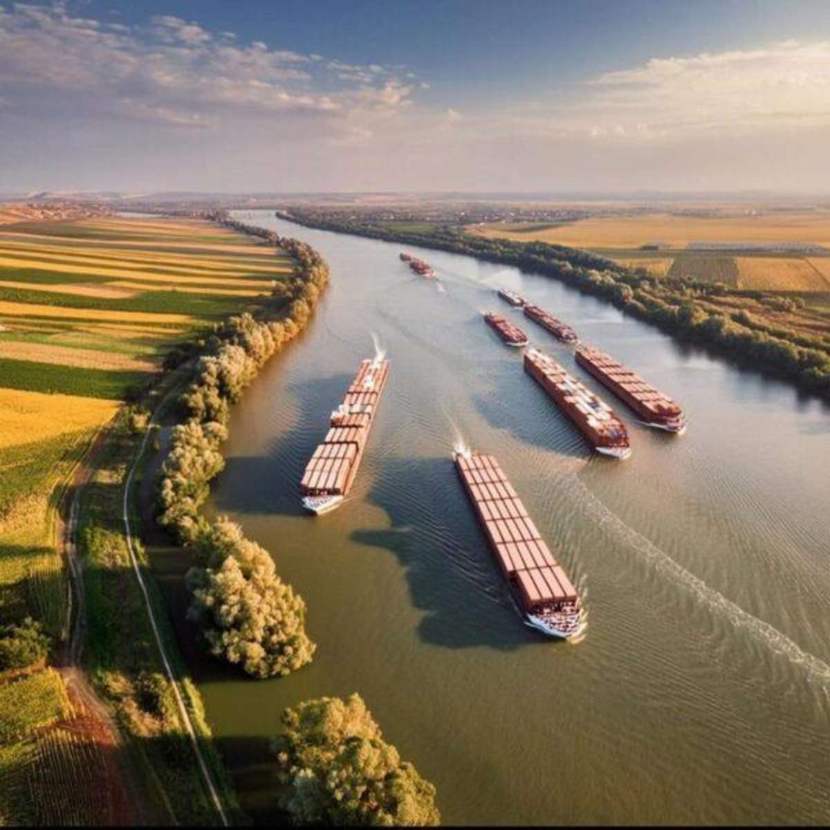
Europe has spent decades building connectivity on land.
High-speed railways, motorways, bridges, tunnels, airports, ports and logistics hubs have transformed the continent into one of the world’s most integrated economic spaces.
But Europe possesses another network that predates almost all of them.
Its rivers.
The Rhine, Danube, Main, Elbe, Seine, Rhône, Po and dozens of smaller rivers and canals are not merely features of European geography.
They move goods. They connect industrial centres with ports. They support energy infrastructure, agriculture and water supplies. And in an era of war, climate stress and increasingly vulnerable global supply chains, they can provide alternative routes when another part of the transport system fails.
That is the strategic idea behind Europe’s emerging Blue Waterways debate.
It is not simply about putting more freight on barges.
It is about treating rivers as critical European infrastructure.
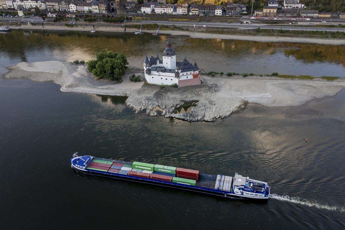

The Summer of 2026 Delivered the Warning
This year turned the theory into a real-world stress test.
Prolonged drought and repeated heatwaves pushed several major European rivers to exceptionally low levels, disrupting navigation and exposing the vulnerability of inland transport to climate extremes.
The European Commission’s Joint Research Centre warned during the summer that severe drought conditions were affecting major parts of Europe, with exceptionally low river flows recorded across important waterways.
When the level of a major commercial river falls, the consequences extend far beyond the environment.
Ships must reduce their loads.
Transport capacity falls.
Freight costs rise.
Industrial plants can face delays in receiving raw materials.
Energy supplies can become more difficult to move.
Water itself moves from being a background assumption to becoming a strategic constraint.
And that changes the way Europe must think about rivers.
Rhine–Danube: Europe’s Artery From the North Sea to the Black Sea
At the centre of this discussion is the Rhine–Danube axis.
The European Commission describes the Rhine–Danube Corridor as continental Europe’s main west-east transport axis, with the largest inland-waterway component among the TEN-T corridors.
Its geography explains why.
The network connects major ports and industrial regions in western Europe through Germany and Austria and onward toward Vienna, Bratislava, Budapest and the lower Danube, ultimately reaching the Black Sea.
But this is not simply a river corridor.
It connects waterways with railways, roads, ports and logistics terminals.
That distinction is fundamental.
Europe does not simply need a better Danube.
It needs a Danube that works together with rail, road, ports and logistics hubs.


From a Corridor to a Network
This is one of the most important ideas in the Modern Diplomacy analysis.
A single corridor can be extraordinarily efficient while everything is functioning normally.
But if one critical point fails, disruption can travel through the entire chain.
A genuine network behaves differently.
If river levels fall, railways should be capable of absorbing additional freight.
If a railway corridor is interrupted, road or water transport should provide redundancy.
If one terminal becomes congested or unavailable, freight should be redirected through another.
That is multimodality in practice.
And it marks the difference between an infrastructure system designed for maximum efficiency and one designed for resilience.
Europe’s revised TEN-T policy increasingly follows precisely this logic: railways, roads, inland waterways, maritime routes, ports, airports and terminals are supposed to function as an integrated multimodal network rather than as isolated pieces of infrastructure.
Four Words: Infrastructure, Multimodality, Information, Governance
The Blue Waterways concept can be reduced to four strategic pillars.
Infrastructure. Europe still needs to remove bottlenecks, maintain navigable fairways and modernise ports and terminals. But dredging alone cannot solve every problem, particularly when ecological and climate constraints are involved.
Multimodality. Rivers, railways and roads need to function as one system. Alternative routes must exist before a crisis arrives.
Information and foresight. Water levels, weather forecasts, cargo movements, port capacity and alternative transport capacity can increasingly be integrated into one data environment.
Governance. This may be the most difficult element of all. A river can cross several countries, regulatory systems and administrative levels. Without common standards and coordination, physical connectivity can exist on the map without producing efficient economic connectivity.
That is the central message of the four-dimension framework:
resilience is not a single infrastructure project. It is a system.
Brussels Is Already Funding the Shift
The debate is not purely conceptual.
The EU’s Connecting Europe Facility continues to finance the construction and modernisation of strategic transport infrastructure, including inland waterways, ports and multimodal connections.
Under the TEN-T framework, inland waterways are explicitly part of the European transport architecture, while resilience to climate disruption has become increasingly important in infrastructure planning.
That creates a potential investment pipeline for the Blue Waterways concept.
The objective is not merely to make individual rivers navigable.
It is to connect them more effectively to rail terminals, ports, maritime corridors and the wider European logistics system.
The Next Step: “Smart Rivers”
Technology adds another dimension.
The future inland waterway could become increasingly connected to real-time data systems combining:
smart vessels + smart infrastructure + smart data + smart governance.
Imagine the practical application.
A system predicts that a critical section of the Rhine will fall below a commercially viable water level five days from now.
It knows which cargoes are heading toward that section.
It also knows the available capacity at nearby rail terminals and alternative ports.
Instead of waiting until vessels can no longer carry their normal loads, logistics operators begin shifting part of the freight in advance.
The response moves from crisis management to anticipation.
And in a climate where droughts and floods are becoming more disruptive, that difference could be economically significant.
War Shows the Opposite: Geography Alone Is Not Connectivity
The article uses the Volga to demonstrate the other side of the equation.
A river can remain exactly where it has always been.
The infrastructure may still physically exist.
But when political and institutional cooperation collapses, functional connectivity can collapse with it.
The Volga remains a major north-south geographical axis linking Russia’s interior with the Caspian Sea and, potentially, with wider routes toward Iran, the Persian Gulf and the Indian Ocean.
Yet Russia’s war against Ukraine, sanctions and the deterioration of relations between Moscow and much of Europe have fragmented the political environment around that physical infrastructure.
The lesson is larger than Russia.
Connectivity is not only infrastructure. Connectivity is also politics.
A railway line, canal, bridge or river route does not constitute a functioning international corridor unless customs systems, legal frameworks, insurance, documentation, border procedures and governments can operate together.
A corridor can therefore exist physically and still be geopolitically broken.
Ukraine Makes the Danube Even More Strategic
The war has simultaneously increased the importance of another European river.
The lower Danube has become an important export and logistics route for Ukraine.
That gives the river an additional geopolitical role.
A corridor traditionally associated with European economic integration now contributes to the resilience of a country at war.
The Danube therefore increasingly connects several policy worlds:
transport, trade, Ukraine, the Black Sea, European security and strategic resilience.
And that means river policy can no longer be viewed simply as a specialised transport issue.
It becomes infrastructure geopolitics.
From the Atlantic and North Sea to the Mediterranean and Black Sea
The larger ambition is visible in the network map.
Not one river.
A continental blue network.
The Rhine–Danube system forms its most obvious backbone, but Europe’s river geography is much larger.
The Seine connects toward the Atlantic.
The Rhine, Meuse and Scheldt converge on the North Sea industrial-port system.
The Oder and Vistula flow toward the Baltic.
The Rhône and Po connect with the Mediterranean.
The Danube reaches the Black Sea.
At the same time, the map exposes two different forms of fragmentation.
Some physical waterways — including those on the Iberian Peninsula — remain relatively disconnected from the continental inland-waterway network.
Elsewhere, physical infrastructure exists but geopolitical conflict has disrupted functional connectivity.
That distinction matters.
The future European network will not be determined simply by where water flows.
It will depend on whether transport systems, governments and markets can make those waterways work together.
And Greece? Its Opportunity Begins Where the Rivers Meet the Sea
Greece does not have a Rhine or Danube.
But that does not leave it outside the Blue Waterways strategy.
Its strategic relevance begins precisely where inland corridors meet maritime routes.
The revised TEN-T architecture connects European land transport with maritime space, while the Western Balkans–Eastern Mediterranean and Baltic Sea–Black Sea–Aegean Sea axes strengthen the transport logic linking southeastern Europe with the wider continent.
For Greece, this opens a different strategic map:
Piraeus → Thessaloniki → Balkans → Danube → Central Europe.
And on the western side:
Greek ports → Ionian/Adriatic routes → Central and Southeastern European corridors.
The important point is not to imagine a single uninterrupted “Greek-Danube corridor.”
It is to create interoperable connections between ports, railways, roads and inland waterways.
Piraeus and Thessaloniki can therefore matter to the Blue Waterways strategy without sitting directly on one of Europe’s great navigable rivers.
Their role is as gateways.
Europe May Need to Think About Rivers the Way It Thinks About Straits
When Hormuz or Bab el-Mandeb becomes dangerous, policymakers immediately understand the significance of a chokepoint.
One narrow passage can affect an entire global trading system.
Europe increasingly needs to apply a similar logic internally.
A shallow section of the Rhine.
A bottleneck on the Danube.
An overloaded terminal.
A missing rail connection.
An incompatible cross-border administrative procedure.
Any of these can become an internal European chokepoint.
That is why resilience cannot be measured simply by kilometres of track, motorway or navigable river.
The real test is whether the entire system continues functioning when one part is disrupted.
Climate Change Makes the Question More Urgent
Low water is only one threat.
Flooding can be equally disruptive.
Europe therefore faces a difficult engineering and policy challenge.
Its river infrastructure was largely developed around historical assumptions about water flows.
Climate change means future infrastructure increasingly needs to cope with extremes rather than averages.
The objective cannot be to engineer rivers into perfect predictability.
It must be to build a transport network capable of adapting when nature becomes unpredictable.
That means redundancy.
Data.
Forecasting.
Alternative transport capacity.
And cross-border decision-making.
Europe’s Next Great Infrastructure Project May Not Be Another Motorway
That is ultimately the political significance of the Blue Waterways debate.
Europe does not need to choose between railways, motorways, ports and rivers.
It needs to stop treating them as separate worlds.
Resilience exists in the connections between them.
When the Rhine runs too low, freight must have somewhere else to go.
When a railway is disrupted, another route must exist.
When a port is blocked, the network must be capable of redirecting flows.
And when war destroys or fragments one commercial corridor, Europe should already know where the alternative lies.
The summer of 2026 demonstrated that even Europe’s great rivers can no longer be taken for granted.
The answer is not to abandon them.
It is to integrate them into a much larger system in which waterways, railways, roads, ports, data and European governance operate together.
Europe’s future connectivity will not be only green.
It will not be only digital.
It will not be only terrestrial.
It will also be blue.
Source: pagenews.gr